Insights
Satellite intelligence for deforestation screening and forest monitoring
The date you picked is probably not the date of your satellite image
Satellites pass on a fixed orbit and most passes over the wet tropics are too cloudy to use, so an image of your plot on your chosen date often does not exist. What every tool does instead is substitute a different one, usually without saying so. We measured how far that goes: up to 104 days.
Read →EUDR: what actually changed in 2026, and who still has to do the work
The Commission has confirmed 30 December 2026 with no further delay, moved the due diligence burden onto whoever first places goods on the EU market, and taken six product categories out of scope. If you import, here is what applies to you and what no longer does.
Read →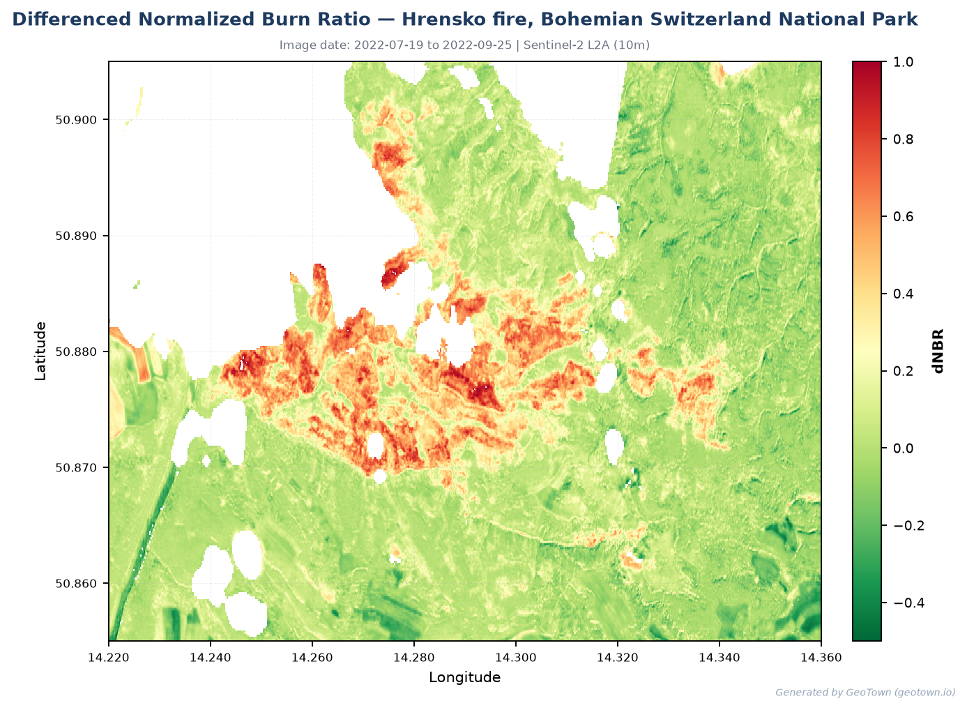
What satellite burn mapping can and cannot tell you
NBR is the standard way to map fire damage from satellites, and it has four limitations that matter. We measured all of them against Europe's official fire perimeters, and built the corrections into GeoTown. Here are the numbers and what we do about each.
Read →